

+ 42
Bald Mountain via the Silver Lake Trail (Bald Mountain via Silver Lake Trail)
Hiking Trail
Details
3.94 mi
1,336 ft
Hike the slopes of Deer Valley Resort to the panoramic summit of Bald Mountain.
This is a hiker-only trail within Deer Valley Resort that climbs to the top of Bald Mountain at 9,400 feet elevation. Most other trails here are shared with bikes, so are less ideal for hiking.
This trail is a great choice for a morning or afternoon hike. It begins from Silver Lake Lodge. Get there by riding the Silver Lake Express lift (fee required) or use the free Park City Transit. If you wish to hike only in the downhill direction, ride the Sterling Express lift to the top of Bald Mountain first.
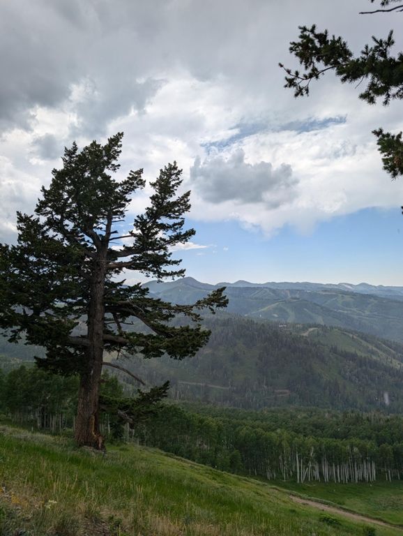
The Silver Lake Trail is not overly steep, but it does gain considerable elevation. It passes through alternating sun and shade as it crosses ski runs and dips into glades of trees. Late spring and early summer wildflowers pop among the understory. Aspen leaves rustle in the breeze, and in autumn turn to brilliant gold. Keep an eye out for deer and other wildlife.
At the top of Bald Mountain you’ll have a nearly 360-degree view over surrounding mountains and valleys. Jordanelle Reservoir lies to the east, and to the west a rolling ridge of green meadows leads to the crest of the Wasatch Range.
To return, you have a few options: retrace your steps downhill, complete a loop with Ontario Canyon Trail, or ride the Sterling Express lift down for free.
Sources:
Written by Jesse Weber
Route and Elevation
Segments
| Name | Distance | Elev. Diff. | Avg. Grade |
|---|---|---|---|
| Silver Lake Up | 1.63 mi | 997 ft | 11.5% |
| Up Silver Lake Trail | 1.82 mi | 1,191 ft | 12.4% |
| Unnamed Rd Climb | 1.05 mi | 768 ft | 13.8% |
| Unnamed Rd Climb | 0.88 mi | 528 ft | 11.3% |
| silver lake descent | 1.67 mi | -1,014 ft | -11.5% |
